
CesiumJS
Section titled “CesiumJS”Geotechnical investigation data from Kai Tak, Hong Kong visualized in 3D. The map shows borehole locations, SPT results, and weathering grades.
The source data was transformed from the AGS3 format using bedrock-ge and exported as GeoJSON for web visualization. Toggle different data layers and adjust ground transparency to explore the subsurface conditions.
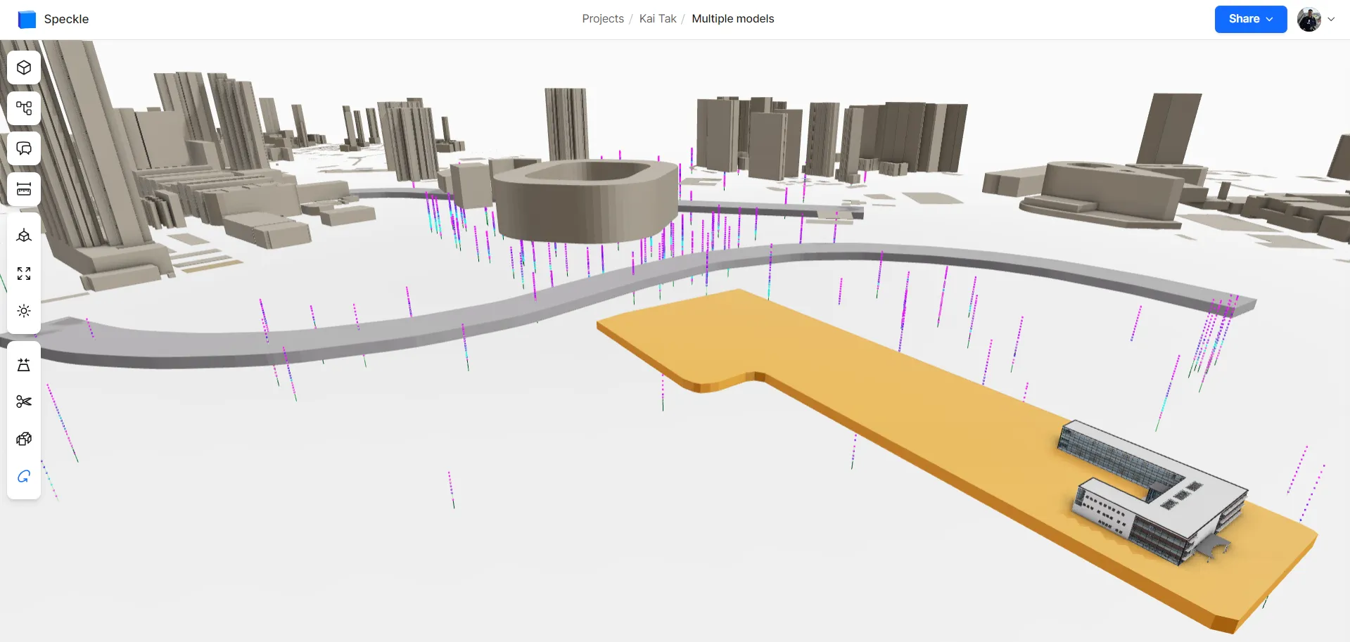
Speckle
Section titled “Speckle”
Explore for yourself in Speckle.
ArcGIS
Section titled “ArcGIS”
Notebook
Section titled “Notebook”View the marimo notebook in the browser that uses bedrock-ge to transform the data shown in these examples.